Lake basics

Minnesota lake facts without the folklore fog

A fast, friendly primer on lake identity, repeated names, public records, and why this guide treats source trails as part of the story.

5 minutes Easy read 3 source links
Quiet Minnesota lake and shoreline used for learning about lake basics.
Hidden Lake at Bemidji State Park — Pete Nelson / CC BY-SA 2.5

Lake explainer

Start with the idea.

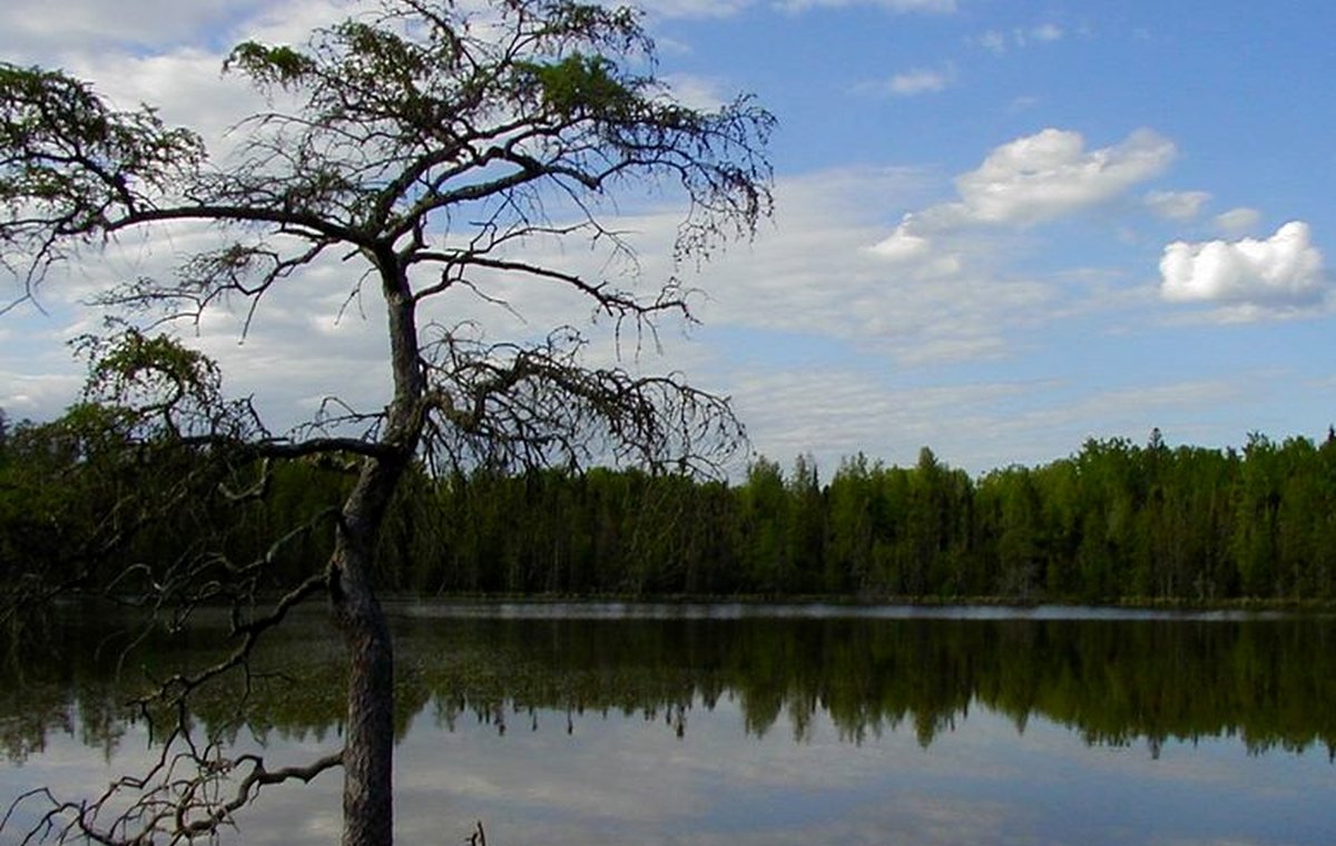
Minnesota lake discovery gets fun when the guide separates a lake name from a lake identity. Repeated names, chains, bays, border waters, and old local nicknames can all point visitors in the wrong direction unless the page keeps the county, official lake number, map context, and sources together.

The name is the beginning, not the proof.

Lake pages should treat the name as a label and the source trail as the proof. The safest public page uses official identity fields, county context, coordinates where validated, and a canonical route that cannot collide with another lake of the same name.

Counts belong to the installed record set.

MinnesotaLakes.info avoids decorative numbers. A county, region, or homepage count should come from public-ready records in the database, not from a slogan or an unfinished import list.

Fun fact cards should still be careful.

Trivia can make lake science memorable, but it should explain how records work instead of inventing rankings, secret spots, or current conditions.

Visual explainer

A quick diagram for the idea.

This is an educational visual, not a lake-specific measurement or decorative map substitute.

Source-backed visual guide

Source trail explanation

Explains why some facts appear and others are withheld.

Official source Explain, verify, then publish
Field match Explain, verify, then publish
Review gate Explain, verify, then publish
Public display Explain, verify, then publish
Withhold when unsure Explain, verify, then publish
Source rule: Public facts are displayed only when the source trail supports the field. Conflicted or high-risk current topics are withheld or linked to official sources.
Source trail infographic; it teaches the evidence path without exposing internal record keys.

Source trail

Where this guide points next.

Use this as educational context. Lake-specific details still require the exact lake record and visible source trail.

Keep learning

Keep exploring

Useful next steps

These links stay inside completed MinnesotaLakes.info routes so visitors can move from maps, guides, counties, sources, and lake records without dead ends.

Lakes

Use the lake archive. It shows public lake records only when source and map context are ready.

Lakes

Maps

Use the finished map hub for LakeFinder help, depth-source guidance, official source links, and click-to-load map data.

Maps

Collections

Open curated discovery modules for big lakes, clear-water records, family trips, paddling, fishing by region, fall color, Metro lake days, Boundary Waters, and North Shore planning.

Collections

Sources

Review the official-source backbone and how source trails decide what can be published.

Sources