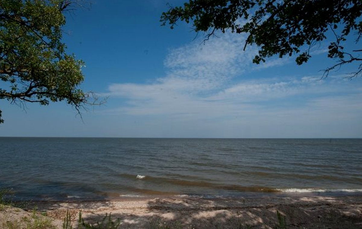
Summer lake day
Think sun protection, hydration, boat-access verification, beach advisories, and a backup shore activity when weather changes.
Search completed guide routes and public lake records only.
Trip planner and comparison tools
Start with source-backed filters, compare only ready lake records, then verify current safety, access, and rules through official links before leaving.
Trip filters
These filters open the completed lake archive. They never invent records; they only narrow published lake data already allowed for visitors.
Season cards
Seasonal ideas are planning prompts, not current-condition claims. Use official links for advisories, closures, rules, and safety-sensitive updates.
Think sun protection, hydration, boat-access verification, beach advisories, and a backup shore activity when weather changes.
Choose shorter drive windows, visible shore access, restroom checks from official park pages, snacks, towels, and a clear meeting point.
Pair a lake overlook with a county or region browse route, but check park hours, road status, and daylight before committing.
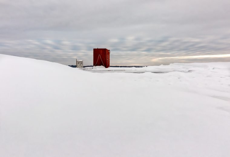
Never treat a guide page as ice-safety proof. Verify ice, access, closures, shelter rules, and emergency options through current official channels.
Safety and source checklist
Use this page as a planning board. For current, safety-sensitive, or regulated details, jump to official sources before you go.
Confirm launch, parking, trail, and road information with official park, county, city, DNR, or map-source pages.
Verify fishing regulations, consumption guidance, aquatic invasive species steps, beach status, and closures through official links.
Check the forecast, wind, lightning risk, cold-water risk, life jackets, float plan, and emergency coverage.
Packing ideas
Water, snacks, sunscreen, bug protection, layers, towel, first-aid basics, charged phone, and a paper backup note.
Life jackets, whistle, dry bag, navigation backup, invasive-species clean-drain-dry steps, and a shore return plan.
Shade, extra clothes, simple games, labeled bottles, restroom plan, quiet break option, and a dry ride-home bag.
Lake comparison
The comparison uses only public-ready fields: county, region, acres, depth, clarity, fish, map-ready status, and source coverage. Choices are temporary on this page.
No unverified lake cards
When at least two public lake records have source-backed comparison fields, this table becomes interactive. No unverified lake records are shown.
Browse all ready lakesKeep exploring
Search and filter public lake records after source gates pass.
Open the map hub for LakeFinder help, depth-map context, and click-to-load map behavior.
Use finished region routes when the trip starts with a part of Minnesota instead of a lake name.
Understand why missing fields stay blank and current conditions stay official-link-first.
Official links before departure