Maps

How to read a lake depth map without pretending it is a treasure map

Learn contours, basins, shelves, points, and why depth maps are useful context—not a guarantee of fish, safety, or current conditions.

7 minutes Friendly science 3 source links
Aerial Minnesota lake view used for learning about map identity and lake records.
Lake Minnetonka aerial — edkohler / CC BY 2.0

Lake explainer

Start with the idea.

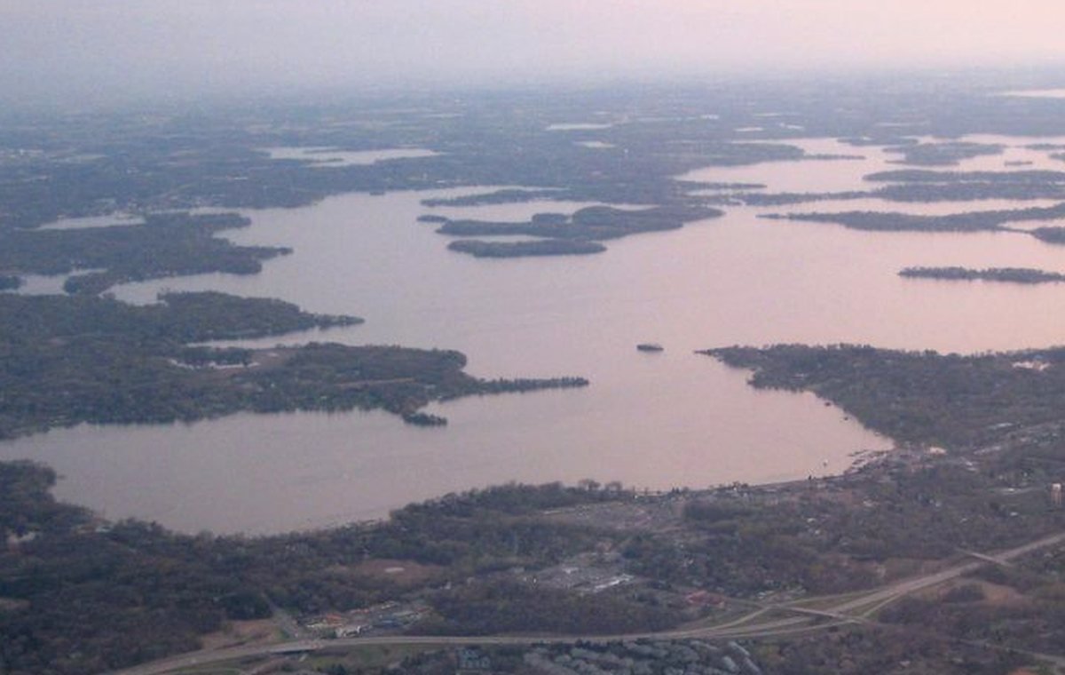
Depth maps help visitors imagine the underwater shape of a lake. They can explain basins, drop-offs, shallow flats, and structure, but they cannot promise fish, safe ice, navigable water, or today’s access conditions.

Contours show change.

Close contour lines usually mean depth changes quickly; wider spacing suggests a gentler slope. That is useful for understanding shape, not for making safety guarantees.

Map source matters.

MinnesotaLakes.info should link to official DNR maps or geospatial sources rather than creating fake depth images. If a lake lacks a supported map source, the page should say so or omit the section.

Depth is only one layer.

Wind, season, water level, vegetation, access, and regulations can affect how a lake feels. A map should be paired with source trails and current official checks.

Visual explainer

A quick diagram for the idea.

This is an educational visual, not a lake-specific measurement or decorative map substitute.

Source-backed visual guide

Depth and basin education

Explains how depth, average depth, and basin morphology differ.

Maximum depth Explain, verify, then publish
Average depth Explain, verify, then publish
Shallow zone Explain, verify, then publish
Basin shape Explain, verify, then publish
Bathymetry caution Explain, verify, then publish
Source rule: Conceptual basin shapes are educational only. They are not a depth chart and not a substitute for official bathymetry or navigation resources.
Depth and basin education infographic; it explains concepts and does not invent bathymetry.

Source trail

Where this guide points next.

Use this as educational context. Lake-specific details still require the exact lake record and visible source trail.

Keep learning

Keep exploring

Useful next steps

These links stay inside completed MinnesotaLakes.info routes so visitors can move from maps, guides, counties, sources, and lake records without dead ends.

Lakes

Use the lake archive. It shows public lake records only when source and map context are ready.

Lakes

Maps

Use the finished map hub for LakeFinder help, depth-source guidance, official source links, and click-to-load map data.

Maps

Collections

Open curated discovery modules for big lakes, clear-water records, family trips, paddling, fishing by region, fall color, Metro lake days, Boundary Waters, and North Shore planning.

Collections

Sources

Review the official-source backbone and how source trails decide what can be published.

Sources