Region lake guide
North Shore / Lake Superior
Lake Superior and North Shore lake-travel planning. Lake-specific claims still require official source trails.
Browse lens: Lake Superior context, North Shore stops, and official-source-first planning
Lake cards awaiting source review
3 county links
Approved region media packet
County browse cards
Browse counties inside this region lens.
County routes are complete. Open a county guide, then use the lake and map filters as source-backed records grow.
Region context
Lake Superior context kept separate from verified lake records.
This route is built for North Shore discovery while keeping high-risk and current topics cautious. Lake-specific records, access notes, and water details appear only when the source trail supports them.
0
published records linked here
Source-backed lake cards
Ready records for this region.
This section shows installed records only after source and map review. Empty states are intentional and useful.
No unverified lake cards
Lake cards are awaiting source review for this region.
The route is complete, and lake cards appear after imported records have source-backed identity, map context, and media review.
Use the source standards and map filters when detailed records are still withheld.
Map browse
Open the map with this region preselected.
The statewide map endpoint shows only public-ready lake records with verified Minnesota coordinates. Empty regions simply show an honest no-data state.
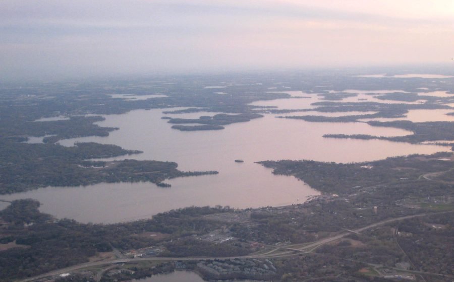
The image here is a registered guide visual, not live map imagery.
Source notes
Why this region page stays cautious.
Official source trail
Lake-specific facts on this region page come only from installed records, official source links, or mechanical filters from those records.
Ready counts only
Ready-card counts show only records that pass the public browsing review; they are not a claim about how many lakes exist in the region.
Current details
Access, regulations, advisories, and conditions can change, so current decisions should be checked with official sources before a trip.