County guide lens
Cook County is a polished North Shore / Lake Superior route. This page shows published lake cards, fish snapshots, map points, and counts only after installed records pass source, media, map, and publish gates.
Search completed guide routes and public lake records only.
County lake guide
Primary region: North Shore / Lake Superior
Cook County is a polished North Shore / Lake Superior route. This page shows published lake cards, fish snapshots, map points, and counts only after installed records pass source, media, map, and publish gates.
County guide lens
This page is ready for visitors now, while lake-specific facts remain tied to installed source-backed records.
Cook County is a polished North Shore / Lake Superior route. This page shows published lake cards, fish snapshots, map points, and counts only after installed records pass source, media, map, and publish gates.
Use map and source links for discovery while specific lake cards wait for reviewed source trails and media packets.
Lake Superior and North Shore planning can change quickly. This county route keeps scenic context separate from current access, conditions, permits, and advisories.
Source-backed lake cards
Lake cards appear after source, map, and media review.
No unverified lake cards
Use map and source links for discovery while specific lake cards wait for reviewed source trails and media packets.
Fishing snapshot
Fishing species, regulations, and consumption advice stay linked to official sources. Use official sources for current fishing decisions.
No ready lake cards currently provide a source-backed species snapshot for this county.
Map and official resources
The statewide map shows only lake records with reviewed Minnesota coordinates. Empty counties show a helpful no-data state.
Open the completed map route with this county selected; only public-ready lake records appear.
Open county map filterMap points are source-gated and withheld until reviewed.
Check official sources for access, advisories, regulations, and current conditions.
This county route is a finished browsing structure. Lake-specific facts are not shown until source-backed lake records are installed and pass public browsing reviews.
Access, regulations, advisories, and safety conditions can change. Use official sources for current trip decisions.
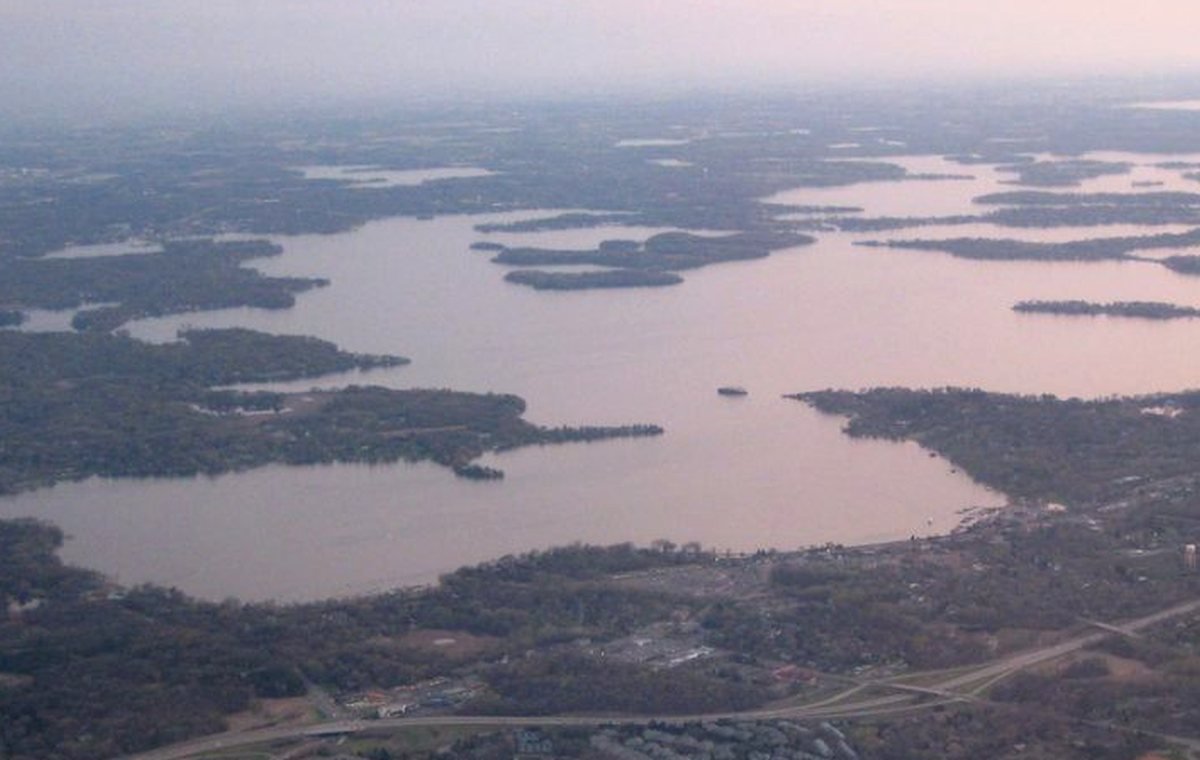
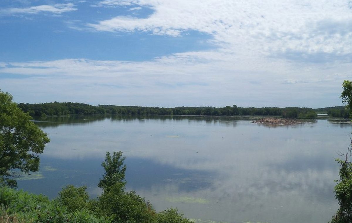
County visuals use approved guide media and must not imply a specific attraction, amenity, access point, or current condition.
This northern/metro county is included in Batch A and has a registered media packet plus source-aware empty states.