Region lake guide
Boundary Waters / Arrowhead
Arrowhead and canoe-country discovery lens. Wilderness, access, and permit topics remain source/link-first.
Browse lens: canoe-country discovery, Arrowhead lakes, and permit-aware planning
Lake cards awaiting source review
4 county links
Approved region media packet
County browse cards
Browse counties inside this region lens.
County routes are complete. Open a county guide, then use the lake and map filters as source-backed records grow.
Region context
Canoe-country discovery with permit and safety topics kept source-first.
The Arrowhead/BWCAW lens is deliberately careful: published lake cards can support discovery, but current permits, closures, ice, fire restrictions, and route conditions belong with official sources.
0
published records linked here
Source-backed lake cards
Ready records for this region.
This section shows installed records only after source and map review. Empty states are intentional and useful.
No unverified lake cards
Lake cards are awaiting source review for this region.
The route is complete, and lake cards appear after imported records have source-backed identity, map context, and media review.
When no published records are ready, the route still guides visitors toward counties, map filters, and source standards without inventing wilderness details.
Map browse
Open the map with this region preselected.
The statewide map endpoint shows only public-ready lake records with verified Minnesota coordinates. Empty regions simply show an honest no-data state.
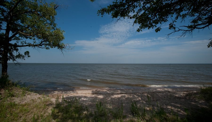
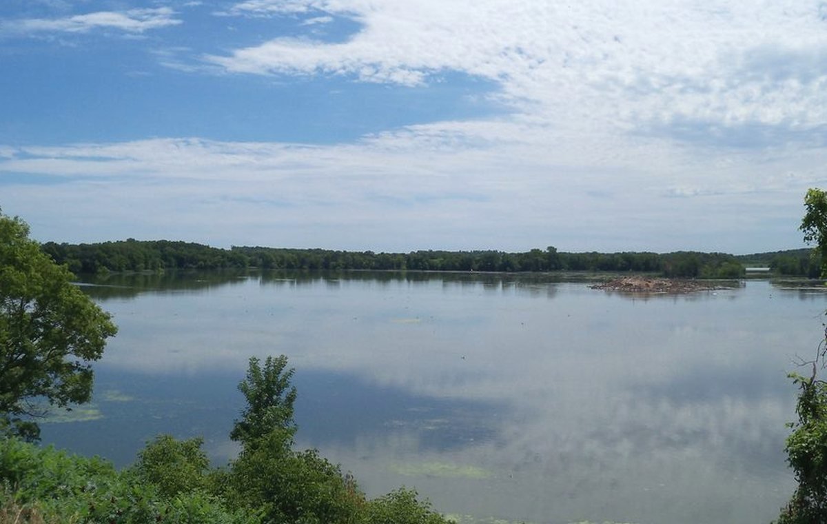
The image here is a registered guide visual, not live map imagery.
Source notes
Why this region page stays cautious.
Official source trail
Lake-specific facts on this region page come only from installed records, official source links, or mechanical filters from those records.
Ready counts only
Ready-card counts show only records that pass the public browsing review; they are not a claim about how many lakes exist in the region.
Current details
Access, regulations, advisories, and conditions can change, so current decisions should be checked with official sources before a trip.