Trust system

MinnesotaLakes.info source standards

The plain-English rules for publishing lake facts, media, maps, source trails, high-risk topics, and public links on MinnesotaLakes.info.

6 minutes Reference 5 source links
Minnesota lake shoreline used as a lightweight map panel preview.
Pigeon Lake, Minnesota — AlexiusHoratius / CC BY-SA 3.0

Lake explainer

Start with the idea.

This guide turns the site rules into a visitor-readable standard: source-backed facts show; unsupported facts wait; current/high-risk topics link to official sources; media is credited and never mislabeled; and incomplete routes stay hidden.

Facts need a source or a safe derivation.

Lake-specific facts must come from official/approved source data, a mechanical derivation from those fields, or be withheld.

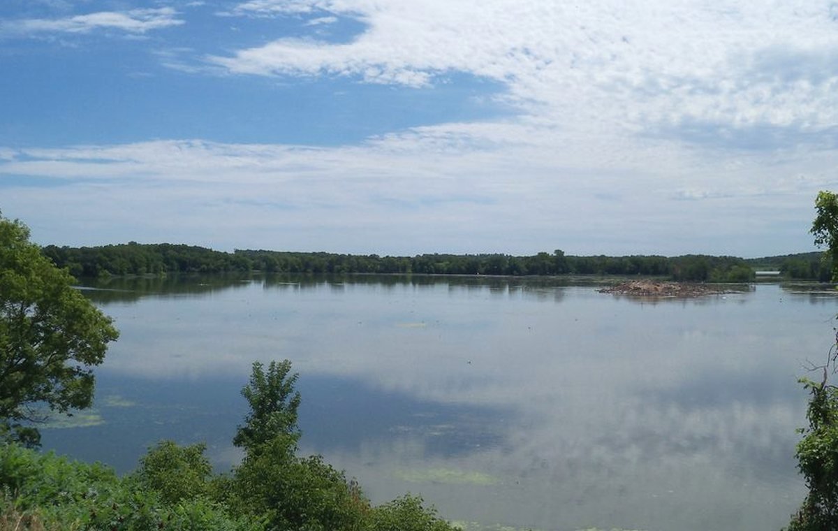
Media must not overclaim.

A regional photo can make a page beautiful, but it must not be labeled as an exact lake image unless the media record proves it. Generated visuals must be tracked and not presented as documentary photography.

Links should keep trust high.

Internal links should point only to completed routes. External official/source links should open safely in a new tab with rel protections.

Visual explainer

A quick diagram for the idea.

This is an educational visual, not a lake-specific measurement or decorative map substitute.

Source-backed visual guide

Source trail explanation

Explains why some facts appear and others are withheld.

Official source Explain, verify, then publish
Field match Explain, verify, then publish
Review gate Explain, verify, then publish
Public display Explain, verify, then publish
Withhold when unsure Explain, verify, then publish
Source rule: Public facts are displayed only when the source trail supports the field. Conflicted or high-risk current topics are withheld or linked to official sources.
Source trail infographic; it teaches the evidence path without exposing internal record keys.

Source trail

Where this guide points next.

This is the public explanation of the publishing rules used across the guide.

Keep learning

Keep exploring

Useful next steps

These links stay inside completed MinnesotaLakes.info routes so visitors can move from maps, guides, counties, sources, and lake records without dead ends.

Lakes

Use the lake archive. It shows public lake records only when source and map context are ready.

Lakes

Maps

Use the finished map hub for LakeFinder help, depth-source guidance, official source links, and click-to-load map data.

Maps

Collections

Open curated discovery modules for big lakes, clear-water records, family trips, paddling, fishing by region, fall color, Metro lake days, Boundary Waters, and North Shore planning.

Collections

Sources

Review the official-source backbone and how source trails decide what can be published.

Sources