Source-aware activity guide
Plan the experience without pretending conditions are fixed.
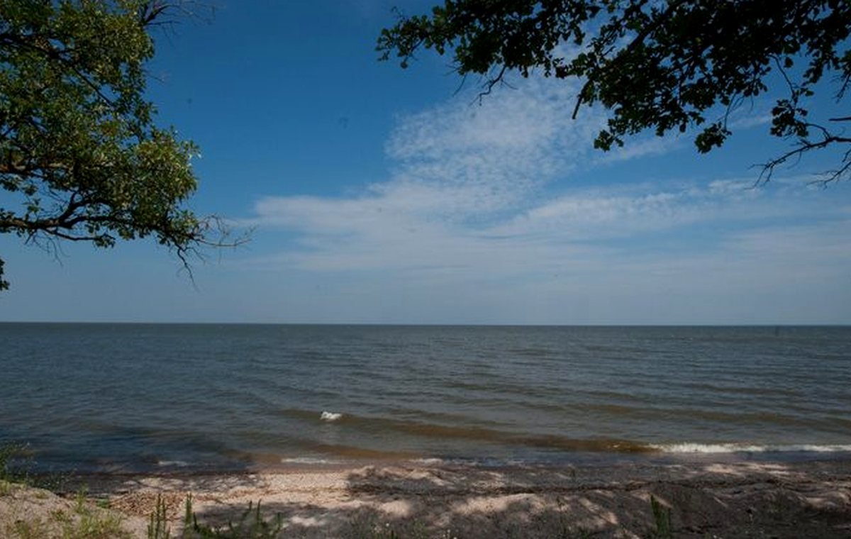
Boating pages should help visitors think clearly without turning a lake guide into a live access bulletin. MinnesotaLakes.info can show source-backed lake size, public access links, and published records, but launch status and local rules stay current-source-first.
Start with access, not assumptions.
A public-ready lake card can point to official access resources when the source trail supports it. It should not imply that a ramp is open, plowed, uncrowded, or suitable for every boat today.
Use map context carefully.
Map panels help orient visitors, but they are not depth charts, navigation charts, or live hazard reports. Official maps and local conditions should be checked before launching.
Bring the safety checklist.
Life jackets, weather awareness, lights, navigation rules, and sober operation belong in every boating plan. This guide keeps those reminders educational and links to official resources for details.