Family planning

Swimming and beaches: use lake guides for planning, not live safety claims

A careful beach-planning guide that keeps closures, water quality, supervision, and local rules official-source-first.

6 minutes High-current-risk topic 4 source links
Quiet Minnesota lake shoreline used for family lake-day planning.
Hidden Lake at Bemidji State Park — Pete Nelson / CC BY-SA 2.5

Source-aware activity guide

Plan the experience without pretending conditions are fixed.

Swimming guidance is high-risk because beach conditions, closures, bacteria advisories, lifeguard status, and local rules can change. MinnesotaLakes.info can help visitors find planning context, but it does not declare a lake or beach safe to swim today.

Beach details need direct sources.

A beach name, closure notice, lifeguard note, or swim-area rule should come from a direct official or local source. If that source is missing, the page should avoid the claim.

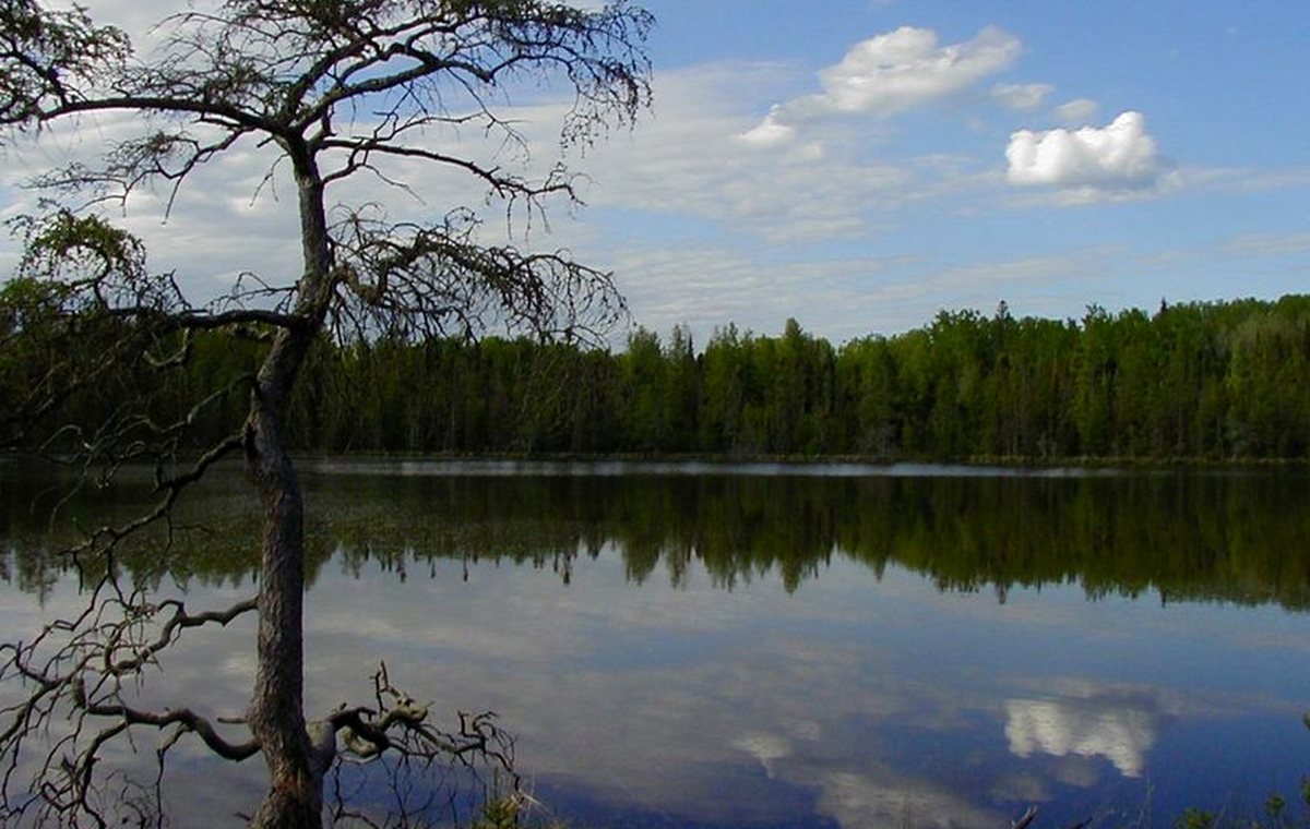
Clarity is not safety.

Water clarity can help explain a lake record, but clear-looking water is not a health, bacteria, algae, or supervision guarantee.

Plan like conditions can change.

Bring supervision, check local notices, watch weather, and know the backup plan before making the beach the whole trip.

Planning visual

A diagram for safer planning, not a fake live report.

This visual explains a planning pattern or source pathway without claiming current access, beach, ice, lodging, campground, or weather status.

Source-backed visual guide

Water clarity education

Explains clarity as date-scoped educational context, not current swim safety.

Secchi depth Explain, verify, then publish
Clarity class Explain, verify, then publish
Date scope Explain, verify, then publish
Trend context Explain, verify, then publish
Safety caution Explain, verify, then publish
Source rule: Clarity data can describe a measurement period or modeled class. Advisories, impairments, beach status, and current safety remain official-link-first.
Water clarity education infographic; clarity values are date-scoped and not current swim-safety claims.

Published lake links

Lake cards appear only when records support this activity.

These cards are queried from public-ready lake records and source-backed activity fields. If none qualify, the guide stays useful without inventing recommendations.

No published source-backed lake cards yet.

When lake records pass source, media, map, and publish gates, matching lakes will appear here automatically.

Browse the lake archive

Official-source trail

Where this guide points next.

Use these source paths for details that can change or require the official authority.

Keep planning

Keep exploring

Useful next steps

These links stay inside completed MinnesotaLakes.info routes so visitors can move from maps, guides, counties, sources, and lake records without dead ends.

Lakes

Use the lake archive. It shows public lake records only when source and map context are ready.

Lakes

Plan

Use filters, seasonal cards, packing ideas, safety checks, and a temporary lake comparison table without creating an account.

Plan

Maps

Use the finished map hub for LakeFinder help, depth-source guidance, official source links, and click-to-load map data.

Maps

Collections

Open curated discovery modules for big lakes, clear-water records, family trips, paddling, fishing by region, fall color, Metro lake days, Boundary Waters, and North Shore planning.

Collections