Paddling

Kayaking and canoeing: quiet-water planning without guessing conditions

Learn how to read lake size, access context, wind exposure, and water-trail sources before planning a paddle.

5 minutes Wind-aware planning 4 source links
Open water on a Minnesota lake used as a lake-day planning guide visual.
Detroit Lake — DannyBill7 / CC BY-SA 4.0

Source-aware activity guide

Plan the experience without pretending conditions are fixed.

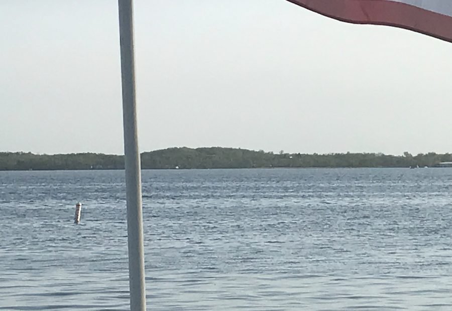
Paddling is one of the easiest ways to slow down around a lake, but a planning page should not infer calm water from scenery. The useful path is to combine source-backed lake context with current weather and official access information.

Small water can still be serious.

Lake size, fetch, shoreline shape, and landing options can shape a paddling plan. MinnesotaLakes.info uses these as planning prompts, not guarantees.

Water trails need exact sources.

When a water trail, carry-in access, or paddling route is listed, it should come from a specific official or public-land source. Otherwise the guide stays general.

Build a bailout plan.

Wind, waves, storms, and fatigue can turn a gentle trip into a bad idea. A good plan includes return timing, shoreline awareness, and a reason to turn around early.

Planning visual

A diagram for safer planning, not a fake live report.

This visual explains a planning pattern or source pathway without claiming current access, beach, ice, lodging, campground, or weather status.

Source-backed visual guide

Seasonal lake planner

A general planning visual for safe, source-aware seasonal decisions.

Summer Explain, verify, then publish
Fall Explain, verify, then publish
Winter Explain, verify, then publish
Spring Explain, verify, then publish
Verify current sources Explain, verify, then publish
Source rule: Seasonal guidance is general unless a lake-specific access, park, or regulation source is attached.
Seasonal planning infographic; current conditions and access details remain official-link-first.

Published lake links

Lake cards appear only when records support this activity.

These cards are queried from public-ready lake records and source-backed activity fields. If none qualify, the guide stays useful without inventing recommendations.

No published source-backed lake cards yet.

When lake records pass source, media, map, and publish gates, matching lakes will appear here automatically.

Browse the lake archive

Official-source trail

Where this guide points next.

Use these source paths for details that can change or require the official authority.

Keep planning

Keep exploring

Useful next steps

These links stay inside completed MinnesotaLakes.info routes so visitors can move from maps, guides, counties, sources, and lake records without dead ends.

Lakes

Use the lake archive. It shows public lake records only when source and map context are ready.

Lakes

Plan

Use filters, seasonal cards, packing ideas, safety checks, and a temporary lake comparison table without creating an account.

Plan

Maps

Use the finished map hub for LakeFinder help, depth-source guidance, official source links, and click-to-load map data.

Maps

Collections

Open curated discovery modules for big lakes, clear-water records, family trips, paddling, fishing by region, fall color, Metro lake days, Boundary Waters, and North Shore planning.

Collections