Scenic trips

Fall color lake trips: slow loops, bright shorelines, current color checks

Plan fall lake drives and shoreline walks with county/region context, public lands, and official seasonal color sources.

5 minutes Seasonal timing 4 source links
Fall Minnesota lake shoreline used for fall color trip planning.
Lake Bemidji fall view — Wikimedia Commons source

Source-aware activity guide

Plan the experience without pretending conditions are fixed.

Fall color planning should feel vivid while staying honest. Color timing, road conditions, closures, and weather change, so the guide uses official seasonal resources and flexible county/region routes.

Build a loop, not a single bet.

County and region pages can help visitors combine lakes, forests, parks, and small communities into flexible loops.

Check seasonal updates.

Fall color progress changes across Minnesota and by species, weather, and local conditions. Official seasonal resources should remain the current reference.

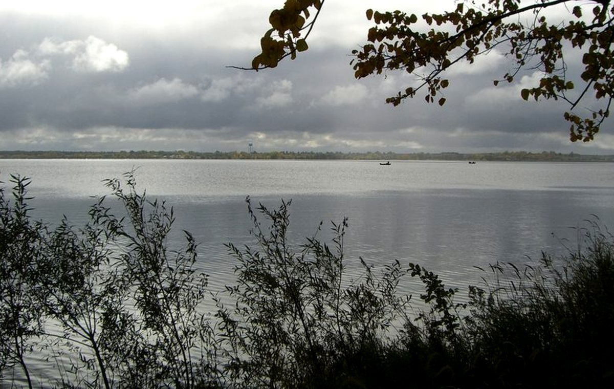
Use lakes as anchors.

Lakes add reflections, open sky, and shoreline contrast to a fall trip. The page should make that educational without claiming a current color state.

Planning visual

A diagram for safer planning, not a fake live report.

This visual explains a planning pattern or source pathway without claiming current access, beach, ice, lodging, campground, or weather status.

Source-backed visual guide

Seasonal lake planner

A general planning visual for safe, source-aware seasonal decisions.

Summer Explain, verify, then publish
Fall Explain, verify, then publish
Winter Explain, verify, then publish
Spring Explain, verify, then publish
Verify current sources Explain, verify, then publish
Source rule: Seasonal guidance is general unless a lake-specific access, park, or regulation source is attached.
Seasonal planning infographic; current conditions and access details remain official-link-first.

Published lake links

Lake cards appear only when records support this activity.

These cards are queried from public-ready lake records and source-backed activity fields. If none qualify, the guide stays useful without inventing recommendations.

No published source-backed lake cards yet.

When lake records pass source, media, map, and publish gates, matching lakes will appear here automatically.

Browse the lake archive

Official-source trail

Where this guide points next.

Use these source paths for details that can change or require the official authority.

Keep planning

Keep exploring

Useful next steps

These links stay inside completed MinnesotaLakes.info routes so visitors can move from maps, guides, counties, sources, and lake records without dead ends.

Lakes

Use the lake archive. It shows public lake records only when source and map context are ready.

Lakes

Plan

Use filters, seasonal cards, packing ideas, safety checks, and a temporary lake comparison table without creating an account.

Plan

Maps

Use the finished map hub for LakeFinder help, depth-source guidance, official source links, and click-to-load map data.

Maps

Collections

Open curated discovery modules for big lakes, clear-water records, family trips, paddling, fishing by region, fall color, Metro lake days, Boundary Waters, and North Shore planning.

Collections