Scenic trips

Photography and scenic lake views: find the light, respect the place

A scenic planning guide for sunrise, sunset, shoreline access, public land, and respectful photography without trespass or location overclaims.

5 minutes Low-impact viewing 4 source links
Sunset over a Minnesota lake shoreline used as a homepage guide visual.
Zippel Bay on Lake of the Woods — Tony Webster / CC BY-SA 2.0

Source-aware activity guide

Plan the experience without pretending conditions are fixed.

Scenic pages can make the site entertaining, but they still need responsible framing. Use public access, parks, trails, and county/region context rather than sending visitors toward private property or unsupported overlooks.

Public access matters.

A beautiful lake does not mean every shoreline is public. Scenic suggestions should point toward official public land, public roads, parks, or mapped access where the source supports it.

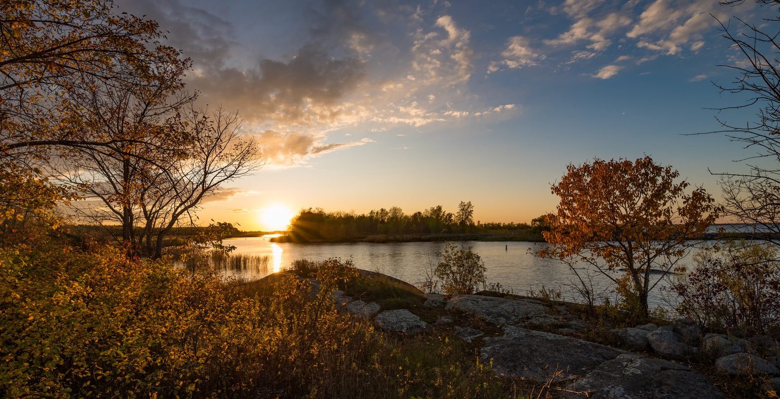
Time of day is planning, not a guarantee.

Sunrise, sunset, fog, ice, and fall color are changeable. The guide can teach timing ideas without promising conditions.

Leave the place better than the picture.

Stay on durable surfaces, respect closures and wildlife, and avoid crowding fragile shorelines or private docks.

Planning visual

A diagram for safer planning, not a fake live report.

This visual explains a planning pattern or source pathway without claiming current access, beach, ice, lodging, campground, or weather status.

Source-backed visual guide

Seasonal lake planner

A general planning visual for safe, source-aware seasonal decisions.

Summer Explain, verify, then publish
Fall Explain, verify, then publish
Winter Explain, verify, then publish
Spring Explain, verify, then publish
Verify current sources Explain, verify, then publish
Source rule: Seasonal guidance is general unless a lake-specific access, park, or regulation source is attached.
Seasonal planning infographic; current conditions and access details remain official-link-first.

Official-source trail

Where this guide points next.

Use these source paths for details that can change or require the official authority.

Keep planning

Keep exploring

Useful next steps

These links stay inside completed MinnesotaLakes.info routes so visitors can move from maps, guides, counties, sources, and lake records without dead ends.

Lakes

Use the lake archive. It shows public lake records only when source and map context are ready.

Lakes

Plan

Use filters, seasonal cards, packing ideas, safety checks, and a temporary lake comparison table without creating an account.

Plan

Maps

Use the finished map hub for LakeFinder help, depth-source guidance, official source links, and click-to-load map data.

Maps

Collections

Open curated discovery modules for big lakes, clear-water records, family trips, paddling, fishing by region, fall color, Metro lake days, Boundary Waters, and North Shore planning.

Collections