Shoreline and trails

Hiking near lakes: connect water, trails, and source-backed public land

Use official trail and public-land sources to plan lake-adjacent hikes without inventing trail access or conditions.

5 minutes Trail-source dependent 4 source links
Minnesota lake shoreline used for learning about source trails.
Lake Bemidji — Lightinacube / CC BY-SA 3.0 or GFDL

Source-aware activity guide

Plan the experience without pretending conditions are fixed.

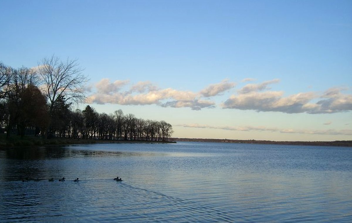
A lake plus a trail can make a great day, but public pages need specific sources. Trail names, access points, park rules, and closures should come from official public-land or local sources.

Public land gives the strongest context.

State parks, forests, county parks, wildlife areas, and water trails can support lake-adjacent planning when cited directly.

Trail conditions can change.

Flooding, ice, maintenance, hunting seasons, and closures can affect access. Current status belongs with the trail manager.

Tie the hike back to the lake.

Useful pages explain how the trail, shoreline, watershed, or overlook helps visitors understand the lake, not just collect unrelated attractions.

Planning visual

A diagram for safer planning, not a fake live report.

This visual explains a planning pattern or source pathway without claiming current access, beach, ice, lodging, campground, or weather status.

Source-backed visual guide

Watershed explanation

Shows how water, land, and lake context connect.

Land drains Explain, verify, then publish
Streams connect Explain, verify, then publish
Wetlands buffer Explain, verify, then publish
Lake receives Explain, verify, then publish
Official assessment Explain, verify, then publish
Source rule: Watershed labels, assessment language, and impairment context must come from approved geospatial or water-quality sources.
Watershed explanation infographic; watershed names and assessments render only when source-backed.

Published lake links

Lake cards appear only when records support this activity.

These cards are queried from public-ready lake records and source-backed activity fields. If none qualify, the guide stays useful without inventing recommendations.

No published source-backed lake cards yet.

When lake records pass source, media, map, and publish gates, matching lakes will appear here automatically.

Browse the lake archive

Official-source trail

Where this guide points next.

Use these source paths for details that can change or require the official authority.

Keep planning

Keep exploring

Useful next steps

These links stay inside completed MinnesotaLakes.info routes so visitors can move from maps, guides, counties, sources, and lake records without dead ends.

Lakes

Use the lake archive. It shows public lake records only when source and map context are ready.

Lakes

Plan

Use filters, seasonal cards, packing ideas, safety checks, and a temporary lake comparison table without creating an account.

Plan

Maps

Use the finished map hub for LakeFinder help, depth-source guidance, official source links, and click-to-load map data.

Maps

Collections

Open curated discovery modules for big lakes, clear-water records, family trips, paddling, fishing by region, fall color, Metro lake days, Boundary Waters, and North Shore planning.

Collections